CHaMP-Management
Where do I find these files?
The products listed above are available from these locations of CHaMPmonitoring.org:
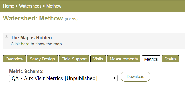
Metrics tab
The Metrics tab allows download of a .csv file of metrics. Metrics are visible in a grid if viewing from an individual Visit. Metric tab views for an entire Watershed or the Program (Reports tab) only allow .csv file download (screenshot below).
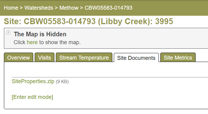
Site Documents:
Navigate to the Site Details page for any site by clicking on the Site ID of a site. Open the Site Documents tab.
Visit Documents:
Navigate to the Visit of a site by clicking on the Visit ID of a site. Open the Visit Documents tab.

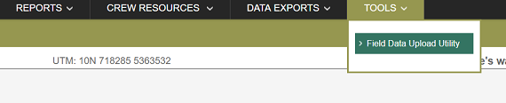
Field Data Upload Utility (FDUU):
The Field Data Upload Utility is accessible from the Tools menu.
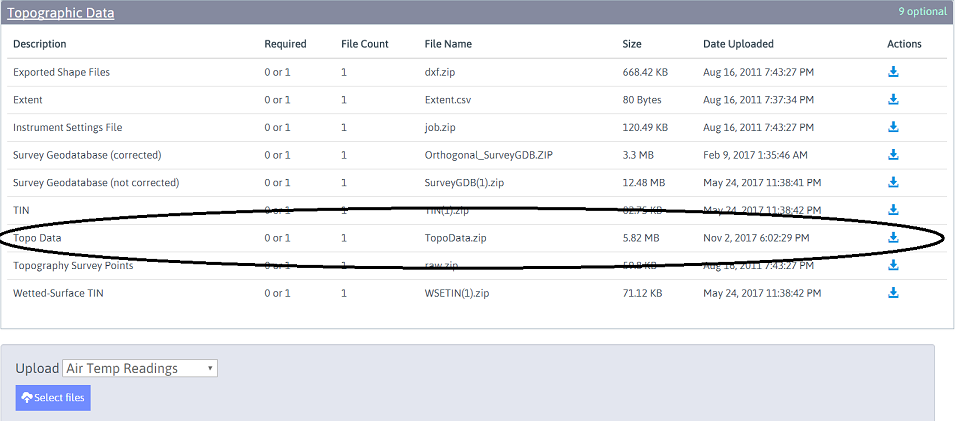
Navigate to the Topographic data section of an individual Visit and select TopoData.zip. Note that the zipped package of Topo data will always start with Topo. If other topographic files are visible, they are the archived versions.